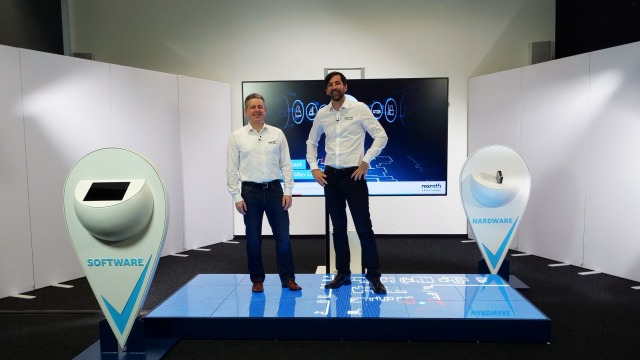
Precise real-time localization for mobile robots
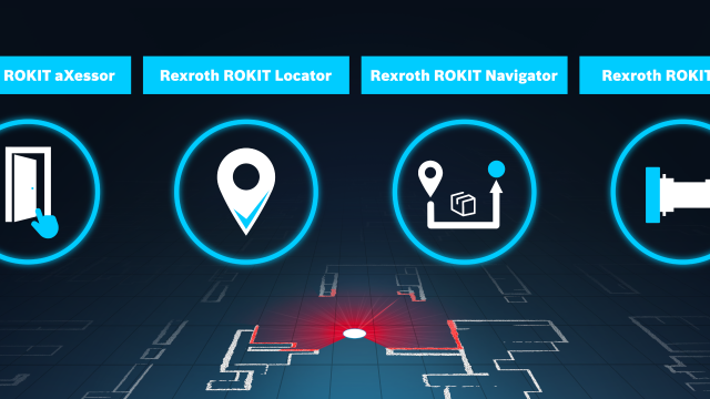
You are looking for software for real-time localization of mobile transport robots that can be easily and quickly integrated into your systems? With the laser-based localization software ROKIT Locator from Bosch Rexroth, the search is over. Thanks to the flexible integration options, easy commissioning and intuitive use of the localization software, you can reduce your development and application efforts as well as the service needs of your end customers with the ROKIT Locator. This not only shortens your time-to-market, but also allows you to focus fully on your differentiating features. In addition to the software-only solution, we also offer you the ROKIT Locator.Box, where the software is pre-installed on a compact industrial computer and ready for immediate use.
Laser-based localization and mapping software
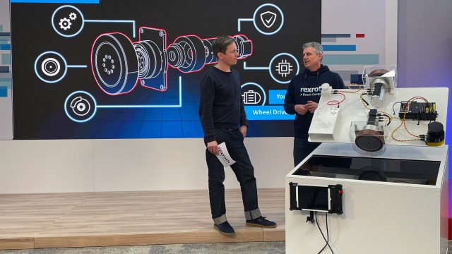
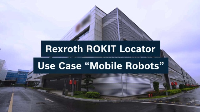
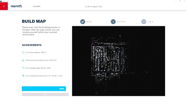
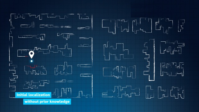
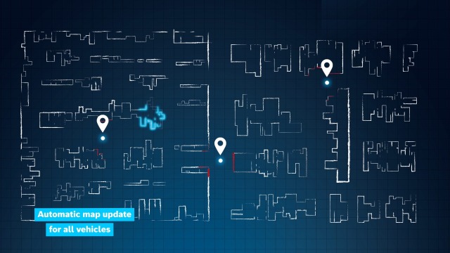
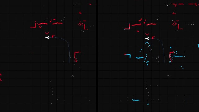
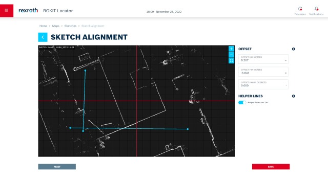
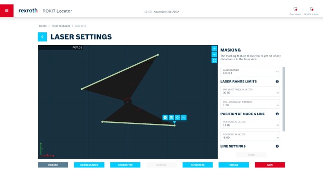
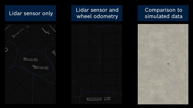
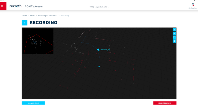
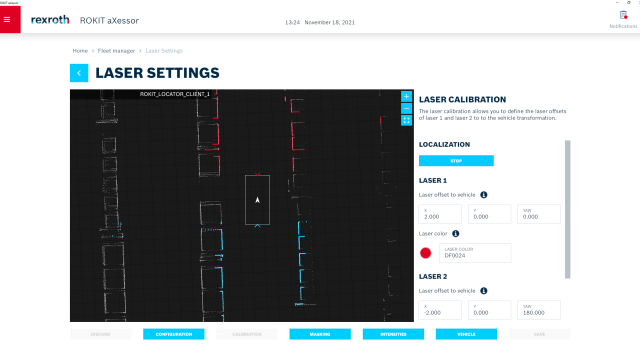
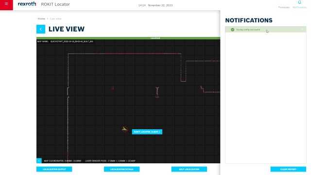
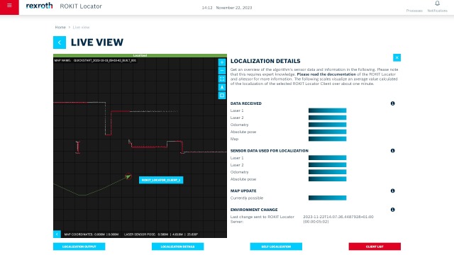
The Rexroth ROKIT Locator is a laser-based software for simultaneous localization of your mobile robots and mapping of dynamic environments (SLAM). The powerful algorithm uses the information from up to two laser scanners installed on the vehicle to reliably capture and map the natural environment (natural navigation). In addition, the real-time location system (RTLS) detects changes in the environment while driving, automatically updates the digital map of the surroundings and then makes it available to the entire ROKIT Locator fleet (automatic map update). Localization is reliable, robust and accurate to within a centimeter – without the use of reflectors or markers. In special situations such as open spaces, additional sensor data such as wheel rotation (wheel odometry fusion) can be optionally taken into account.


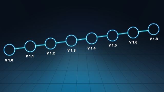
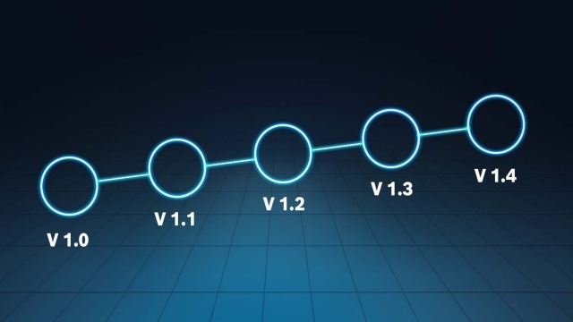
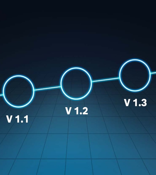
Release News: Always up to date
The ROKIT Locator is constantly being developed for you with the help of your feedback. Here you will find an overview of the progress and new functions of our localization software and the graphical user interface aXessor.
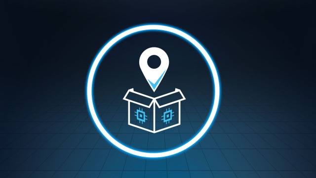
ROKIT Locator.Box – Localization out of the box
Now you have the choice between the pure software solution ROKIT Locator or the ROKIT Locator.Box – ready for use on a compact industrial computer. The ROKIT Locator.Box is designed for convenient and practical integration of our laser localization software into your mobile robots. It consists of a pre-installed and licensed ROKIT Locator software, a fully supported operating system and an industrial-grade, very compact and robust high-performance industrial PC (Pokini F2).

One Pager
Get a first overview of the ROKIT Locator
Test license
We offer you the opportunity to test the Rexroth ROKIT Locator for your application in the field and provide you with support. Please use the contact form to let us know your request.